|
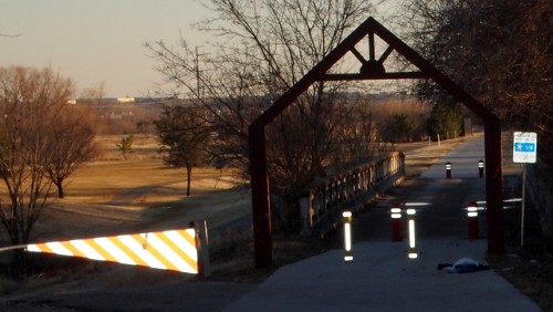
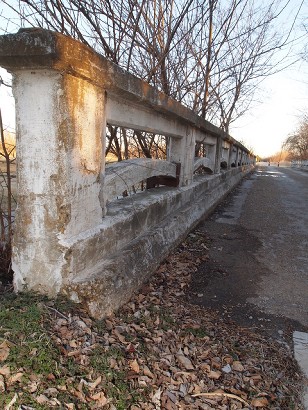
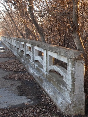
The
bridge with Irving's Twin Wells Golf
Course in the background
Photo courtesy David
Cole, 2011 |
History on
a Pinhead
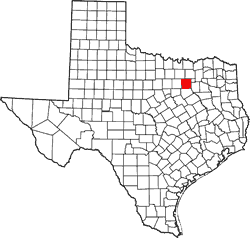
The NW Dallas County
Map of 1900:
http://www.cityofirving.org/library/archives/Exhibits/communities1/map-page/mappage.asp
notes
"Twin Wells to the south on the banks of the West Fork near the
intersection of Shady Grove Road and Loop 12."
"Settlers began moving to the area between the forks in the middle
of the nineteenth century. Early settlers provided for themselves
and their families by farming, chopping and selling cord wood, and
hunting. This map depicts the location of several of the farming communities
that were scattered throughout northwest Dallas
County in the area between the West Fork and Elm Fork of the Trinity
River in the year 1900. By the 1990s, the City of Irving encompassed
the entire area...."
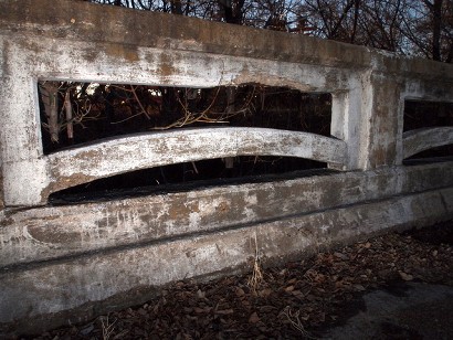
Photographer's Note:
"Here are some photos for Twin Wells, TX.
Irving has a golf course called Twin
Wells. It's on the southeast corner of the intersection of Loop 12
and Shady Grove. The above photo shows the golf course in the background.
Alongside it, there's a path that connects to a park. This bridge
looks like it was designed for cars but now it's restricted to pedestrians
and bikes.
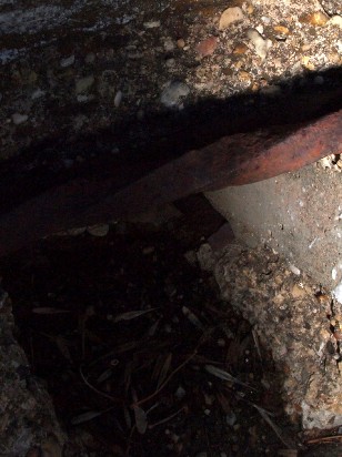
I don't know what to tell you about the twisted old rebar...original
or added later to fortify the bridge?" - David
Cole, 2011 |
| Texas
Escapes, in its purpose to preserve historic, endangered and vanishing
Texas, asks that anyone wishing to share their local history, stories,
landmarks and recent or vintage photos, please contact
us. |
|
|