|
|
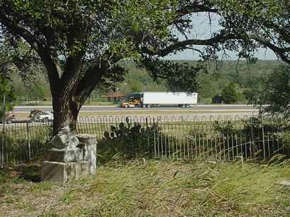
View of Highway
71 from the cemetery
TE photos, November 2006 |
History in
a Pecan Shell
This town was named after James Gay, whose brother Thomas founded
another town named Gay Hill
(in neighboring Washington
County). This Gay Hill grew around a Republic of Texas plantation
and stretched along a high ridge overlooking the Colorado River (a
few miles south).
The town is indeed a hill - rising 370 feet above the level of the
river but the cluster of houses and church isn't marked by any highway
community sign. In the mid 1980s the community was comprised of 12
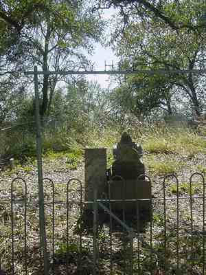
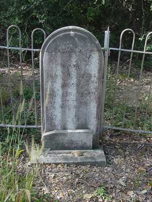
families and Gay Hill has no fewer than three cemeteries - one being
an iron fence enclosure and marked as the Gay Hill Cemetery.
It is reported that the cemetery is close to Indian burial grounds.
The Gay Hill cemetery is in an Oak mott on the ridge on the southside
of the highway just west of the turn-off to the power plant. Access
is difficult. |
|
|
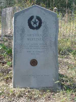
Monument
honoring Christian Wertzner, first permanent German settler in Fayette
County.
TE photo
See Texas Centennial |
| |
A 1936
Centennial marker stands outside the fence - marking the grave
of Christian Gotthelf Wertner - a German immigrant from Saxony who,
as a veteran of the battle
of San Jacinto, was awarded a Fayette
County land grant for his service to the Republic of Texas. Wertner
is believed to be the earliest permanent German settler in the region
and this is noted on the marker - as well as his status as a citizen
of the Republic of Texas.
Herr Wertzner, who had helped to co-found the Biegel
Settlement (now underwater at the power plant lake), died in a
accident while working as part of a surveying crew at nearby Shaw's
Bend (seven miles east of this spot). The graves within the enclosure
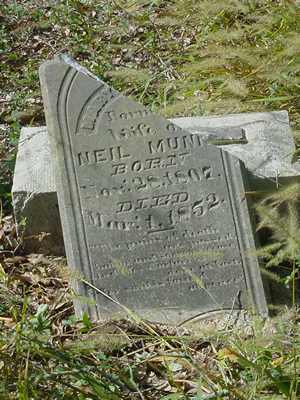
are mainly of the Munn and Gay families. |
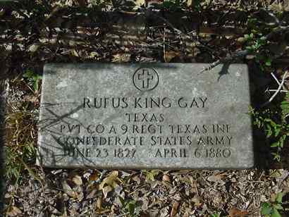
Tombstone of
Private Rufus King Gay, CSA
TE photo |
|
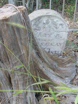
|
Gay
family tombstone
TE photo |
| |
|
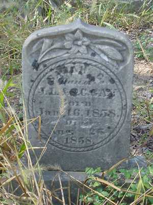
|
Tombstone
of Mary Guthrey |
| |
|
|
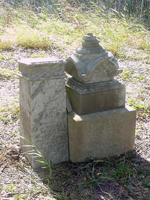
James
Gay Tombstone
TE photos |
| |
| Texas
Escapes, in its purpose to preserve historic, endangered and vanishing
Texas, asks that anyone wishing to share their local history
and vintage/historic photos, please contact
us. |
|
|
 Texas
Gulf Coast
Texas
Gulf Coast East
Texas
East
Texas Central
Texas North
Central
Texas North Central
Texas South
Central
Texas South Texas
Panhandle
Texas
Panhandle South
Texas
South
Texas Texas
Hill Country
Texas
Hill Country West
Texas
West
Texas Texas
Ghost Towns
Texas
Ghost Towns Texas
Counties
Texas
Counties