|
Frontier Ranch
Museum
TE Photo, November 2001 |
History in
a Pecan Shell
Zapata dates to
Spanish land grants that go back to 1767.
When the first settlers crossed the Rio Grande the town was called
Habitacion. Then Carrizo, then Bellville after
Governor Peter Bell. Finally the permanent name of Zapata was
authorized to honor Col. Antonio Zapata, one of the founders of the
Republic of the Rio Grande.
In the early 1850s, two military posts, Camp Drum and Camp
Harney, were located at Zapata to combat border disturbances and
prevent Indian attacks.
In 1842 the men of the Somervell
expedition briefly occupied the town. It was here that received
orders to abandon the expedition. Those that refused to turn back
went on to become captured by the Mexicans.
The population of Zapata increased suddenly when people from Guerrero
crossed the river to escape the Mexican Revolution.
In 1953 the town was moved to higher ground when Falcon Dam
was built.
Zapata is a gas and oil well center. |
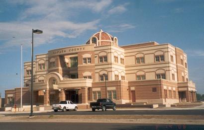 |
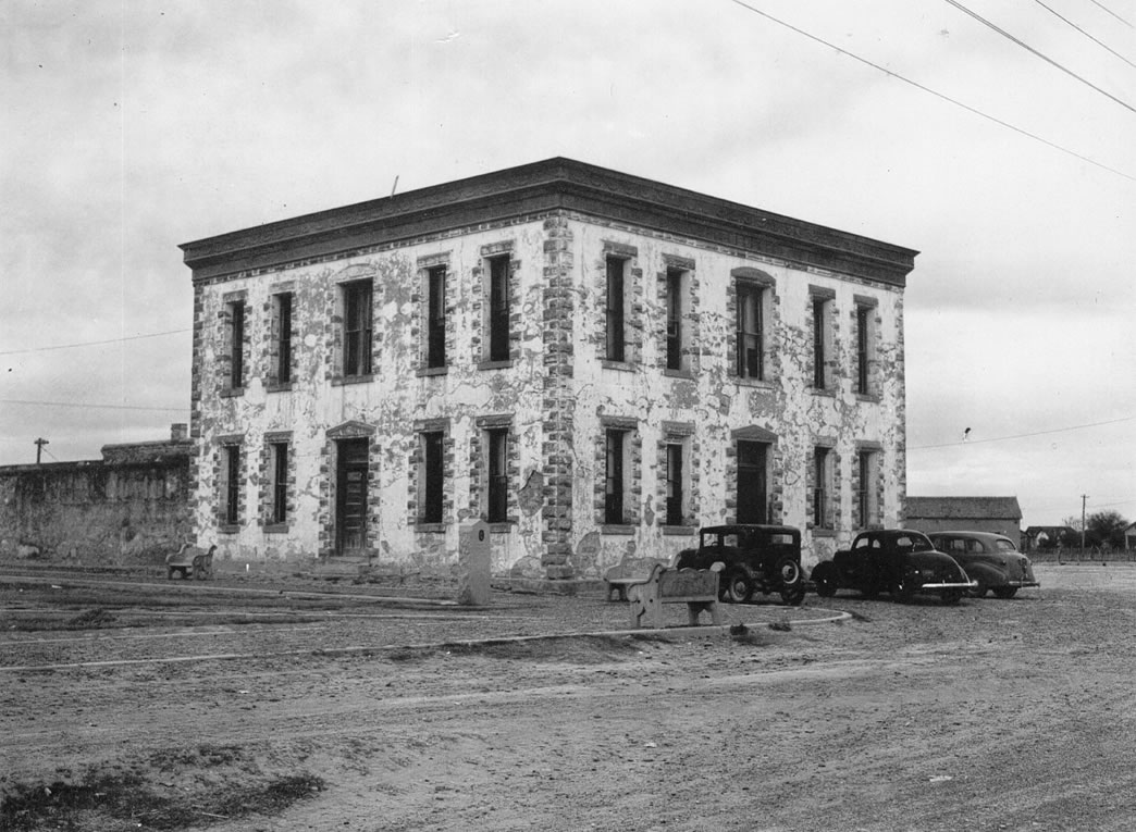
The 1901 Zapata
County Courthouse now under Falcon Reservoir
Click on image to enlarge
1939 photo courtesy TXDoT |
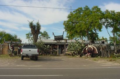
Entering Zapata
TE Photo, November 2001 |
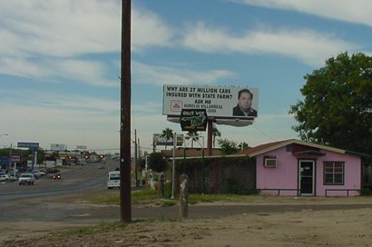
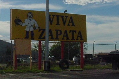
Viva Zapata
TE Photo, November 2001 |
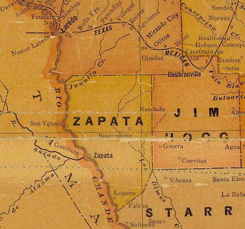
Zapata
County 1920s map showing Zapata
From Texas state map #10749
Courtesy
Texas General Land Office |
| Texas
Escapes, in its purpose to preserve historic, endangered and vanishing
Texas, asks that anyone wishing to share their local history, stories,
landmarks and recent or vintage photos, please contact
us. |
|
|