|
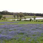
Lake Texoma nearing
capacity
Photo courtesy Mike
Price, July 2007 |
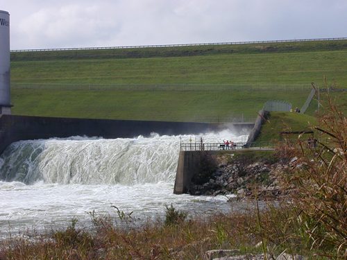
Impounding
89,000 acres of water, the dam itself is a mere five miles NW of Denison,
Texas. It borders on the Texas counties of Cooke
and Grayson and
on the Oklahoma counties of Bryan, Love, Johnson and Bryan.
Shoreline: 1,250 Miles
Capacity: 4,505,000 acre-feet
Discharge Capacity: 750,000 cubic feet
Construction: 1939-1944
Cost: $54,000,000
Registered boats: 10,000
While the lake itself is government property, it is maintained by
the Tulsa District of the U.S. Army Corps of Engineers. The recreational
facilities are managed by the National Park Service.
The
Flood Control Act of 1938 authorized construction of the dam which
is a rather rare type known as a rolled-fill earth embankment. The
length of the dam is 165 feet high and over 15,000 feet long. While
the primary purpose of the dam is controlling floods, it also generates
electrical power and the lake is an extremely popular recreational
destination.
See Lake Texoma
Historical Marker
Towns now under Lake Texoma:
Hagerman
Preston
|
 |
Historical Marker:
Lake Texoma
Completed 1944,
Texoma is today the second largest lake in Texas and the eleventh
largest reservoir in capacity in the United States. Its main purposes
are flood control, power generation, and recreation. Lake Texoma was
promoted largely through the efforts of Sam
Rayburn (1882-1961), noted speaker of the house who represented
District 4 in Congress for 49 years. In normal operation, lake shoreline
covers 550 miles, with the Red River arm (45 miles) in Texas and the
Washita arm (30 miles) in Oklahoma covering 93,080 acres. The waters
are impounded by Denison Dam.
When Texoma was created, it caused the relocation of railroads, highways,
utilities, and cemeteries. The site of Preston,
historically the Red River crossing for the Butterfield Stage, was
submerged, as were the sites of Hagerman
and part of Cedar Mills, Texas.
In 1966 numerous recreation areas on Texoma drew 8,500,000 tourists,
who could also visit Eisenhower
State Park at the southeast end of the lake. The park was named
in honor of Dwight D. Eisenhower, the thirty-fourth president of the
United States.
Texoma is one of more than 200 major inland lakes and reservoirs in
Texas which contribute greatly to the economic and industrial growth
of the state. |
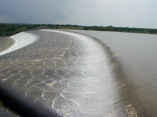 |
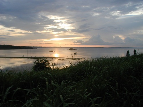
Texoma over the
spillway for only the third time in it's history
Photo courtesy Mike
Price, July 2007 |
| Texas
Escapes, in its purpose to preserve historic, endangered and vanishing
Texas, asks that anyone wishing to share their local history, stories,
landmarks and recent or vintage/historic photos, please contact
us. |
|
|