|
|
|
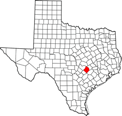
Corrugated
Cowboys
TE photo, April 2010
|
History in
a Pecan Shell
The town began
with the arrival of the Houston and Texas Central Railroad in 1872.
The name chosen was to honor the railroad�s civil engineer, Norman
Paige. The depot was first located three miles west of the present
location but moved in 1876.
In 1874 Paige was granted a post office. In 1877 a German immigrant
by the name of Fedor Soder arrived and built a cotton gin and store.
He bought undeveloped land and broke it into small farms for the
more recently-arrived German settlers.
The population grew to 350 by the mid 1880s and the town had the
essential businesses as well as seven cotton gins (which may be
a record for a town of its size). There was a reported population
of 500 by 1886.
Besides cotton, the town shipped
cordwood, produce, cattle and swine. For local consumption and use,
Paige manufactured brooms and had both a creamery and a pickle factory.
The population declined to 400 by 1914 but the remaining citizens
could call one another on the recently installed telephone system.
The town survived the Great Depression and by the time the United
States entered WWII,
the population was headed back toward 500 with an estimated population
of 467. During the war, decreased cotton
production resulted in a decline in population.
By 1952 Paige had an estimated population of 220. In the early 1980s
Paige established both a community center and a volunteer fire department.
The 1990 census reported 275 people and the same for the 2000 count.
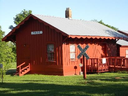
Paige Depot Museum
A museum in the old depot adjoins the community center on the south
side of Hwy 290. The museum is open by appointment � or �Any time
you see cars parked in front of the museum.�
|
 |
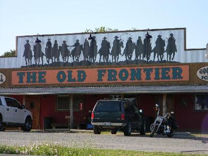
|
Paige
Community Center
TE photo, April 2010
|
|
Roses
bloom in Paige
TE photo, April 2010
|
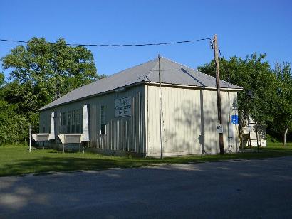
|
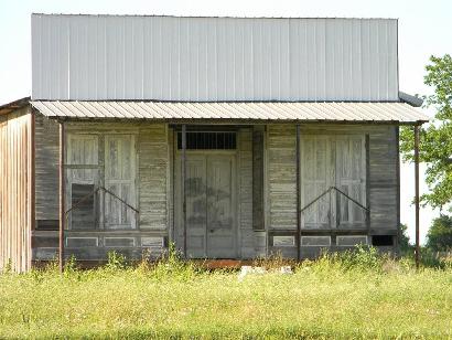
A
Defunct Station
TE photo, April 2010
|
|
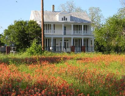
Indian
Paint Brush in bloom
TE photo, April 2010
|
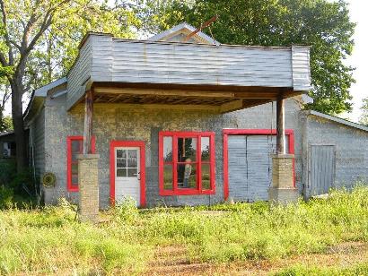
|
Restoration
Interrupted
TE photo, April 2010
|
Grassyville
Cemetery
Direction According to Texas Historical Commission Atlas:
"Off US 290, south on FM 2104, 4.6 mi. to FM 2259, east .3 mi.,
then north on CR 184 .4 mi. to CR 149, east .5 mi. at end of CR 149" |
| Texas
Escapes, in its purpose to preserve historic, endangered and vanishing
Texas, asks that anyone wishing to share their local history, stories,
landmarks and vintage/historic photos, please contact
us. |
|
|

 Texas
Gulf Coast
Texas
Gulf Coast East
Texas
East
Texas Central
Texas North
Central
Texas North Central
Texas South
Central
Texas South Texas
Panhandle
Texas
Panhandle South
Texas
South
Texas Texas
Hill Country
Texas
Hill Country West
Texas
West
Texas Texas
Ghost Towns
Texas
Ghost Towns Texas
Counties
Texas
Counties