|
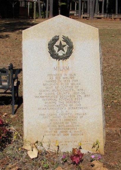
MILAM, TEXAS
Former Sabine County Seat
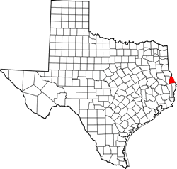
Sabine County |
East Texas
31�27'13"N 93�47'7"W (31.453492, -93.785384)
Hwys 21 and 87
6 Miles N of Hemphill
the County Seat
55 Miles E of Lufkin
ZIP codes 75947, 75959
Area code 409
Population: 1,480 (2010) 1,329 (2000) 177 (1990)
Milam Area Hotels - Book Here ›
Lufkin
Hotels |
Entering Milam
from the west on State Highway 21.
Photo courtesy Terry
Jeanson, December, 2007 |
History in
a Pecan Shell
The
Spanish called Milam Las Borregas and used it as a watering
stop � and so didn�t the Indians before them. It later became a campsite
on the Old
San Antonio Road and settlement began in the late 1820s.
Called Red Mound at first, it was renamed to honor Ben
Milam in 1835. It was designated the seat of government that year
for what was then the �Municipality of Sabine.� It remained in that
role until 1858.
Milam was a port of entry for the Republic of Texas and had an official
collector stationed there. After the Civil War two large race courses
were in operation, but by the mid 1880s the population was a mere
130 (estimate).
By the late 1930s it was up to 250 but declined after WWII.
The Handbook of Texas reported the population as 177 for 1990. It
has since grown to 1,329. |
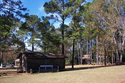
The El Camino
Park in Milam
at the intersection of 21 and 87
Photo courtesy Terry
Jeanson, December, 2007 |
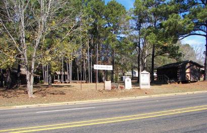
The El Camino
Park and markers
Photo courtesy Terry
Jeanson, December, 2007 |
The King's
Highway ( Texas 21)
AKA El Camino Real
Old San Antonio Road
Old Spanish Trail |
From "Holiday
Day Trips" by Bob Bowman:
"If you're into road trips, take a drive down East Texas' oldest
highway. The King's Highway (Texas 21) stretches from Toledo
Bend Reservoir near Milam to San
Antonio. It is also one of our most scenic roadways. The route
was used by Indians and traveled by Spanish missionaries in 1791.
It is also known as El Camino Real, the Old Spanish Trail, and the
Old San Antonio Road." |
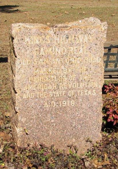
Marker for the
Camino Real (King's Highway)
that passes through Milam.
Photo courtesy Terry
Jeanson, December, 2007 |
James
Gaines� Ferry
(From Ferries in
East Texas by Bob Bowman)
Long before modern bridges were built to span rivers in East Texas,
ferries were maintained at places where roads crossed streams that
were not fordable.
Many of East Texas� earliest immigrants entered Texas at James Gaines�
Ferry on the Old San Antonio Road crossing of the Sabine River east
of Milam in Sabine County. The ferry was originally known as Chabanan
Ferry.
Gaines� Ferry is notable in East Texas because it was operated continuously
for more than 150 years--from 1785 to 1937. Pendleton Bridge now crosses
the river and Toledo Bend Reservoir. more
|
| Texas
Escapes, in its purpose to preserve historic, endangered and vanishing
Texas, asks that anyone wishing to share their local history, stories,
landmarks and recent or vintage photos, please contact
us. |
|
|