|
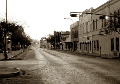
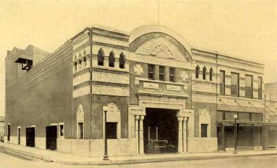
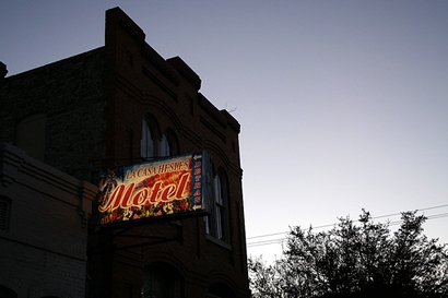
An early morning
street scene downtown
TE Photo |
History in
a Pecan Shell
Names:
The name Eagle Pass was named after migrating eagles or one particular
eagle that flew to and from its nest while the military was deciding
what to name their first camp. The town was predated by this camp
which was two miles downstream from what became Fort Duncan.
Maverick County
was named after Samuel Maverick, signer of the Texas Declaration of
Independence, legislator and the man whose name became a synonymous
with unbranded calves. |
A timeline
of significant historical events in Eagle Pass
1845:
Camp Eagle Pass is established during the Mexican War
1849: Fort Duncan is established as a permanent installation
(2 miles upsteam from the former camp)
1850: Trading post is opened by a San
Antonio merchant and Piedras
Negras is established
1851: Stage line to San
Antonio is established
1855: Volunteer rangers pursue Indians into Mexico and burn
Piedras
Negras
1856: Maverick
County is formed
1863: Renegades attack Confederate Fort Duncan and townspeople
drive them back to Mexico
1865: General Shelby buries a Confederate flag in the Rio Grande
- a symbolic burial of the Confederacy.
1868: Federal troops reoccupy the fort after its use by Confederate
forces during the Civil War.
1871: Maverick
County is organized and Eagle Pass becomes county seat
1875: Population reaches 1,500 - Outlaw John King Fisher unofficially
controls the Eagle Pass area
1882: The Galveston, Harrisburg and San Antonio Railway is
built from Spofford
(Kinney County)
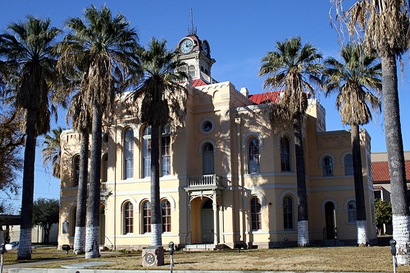
1884: Population reaches 2,000
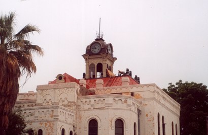
1885: Courthouse
is built
1900: Population of Eagle Pass is 2,729
1920: Population reaches 5,765
1941: Eagle Pass Army Air Field was constructed twelve miles
north of Eagle Pass
Eagle Pass was 94 percent Hispanic in 1980.
Eagle
Pass EF3 Tornado, April 24, 2007 by Dr. Marlene Bradford |
Eagle Pass,
Texas
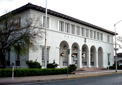
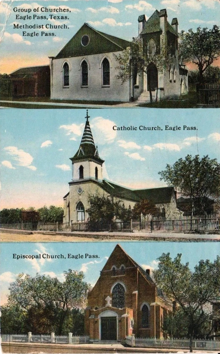
Landmarks / Attractions
|
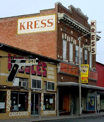
The Kress Building
in Eagle Pass.
TE photo,
March 2002
About Kress
Buildings |
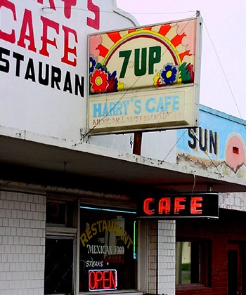
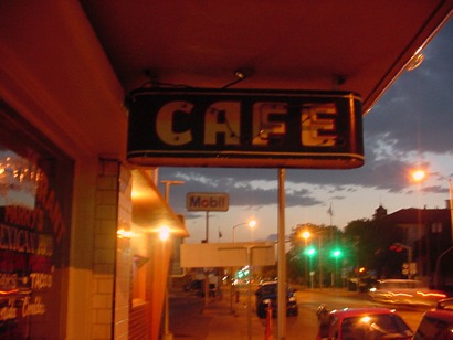
Harry's Cafe
TE photo, March 2002 |
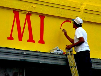
Sign painter
at work
TE photo, March 2002 |
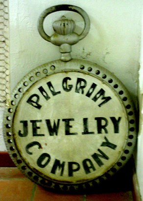
Huge Watch
TE photo, March 2002 |
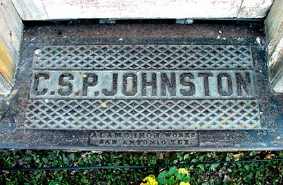
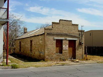
C.S.P. Johnson
Building Threshold
TE photo, March 2002 |
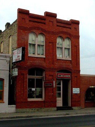
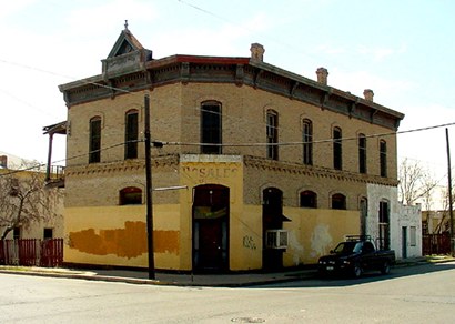
Eagle Pass 1888
Building
TE photo, March 2002 |
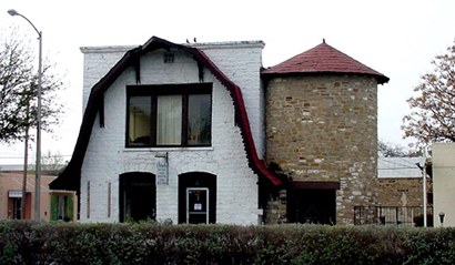
A building with
silo
TE photo, March 2002 |
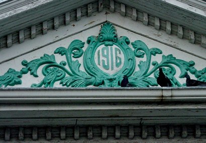
1916
TE photo, March 2002 |
Fort Duncan post
bridge
TE Photo, March 2002 |
A downtown "Cafe"
neon sign
TE Photo, May 2003 |
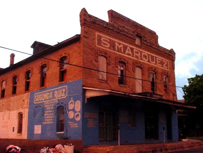
S. Marquez Building
TE photo, May 2003 |
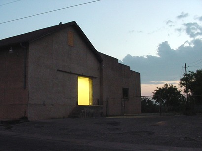
Warehouse At
Dusk
TE photo, May 2003 |
Eagle Pass,
Texas
Vintage Images
|
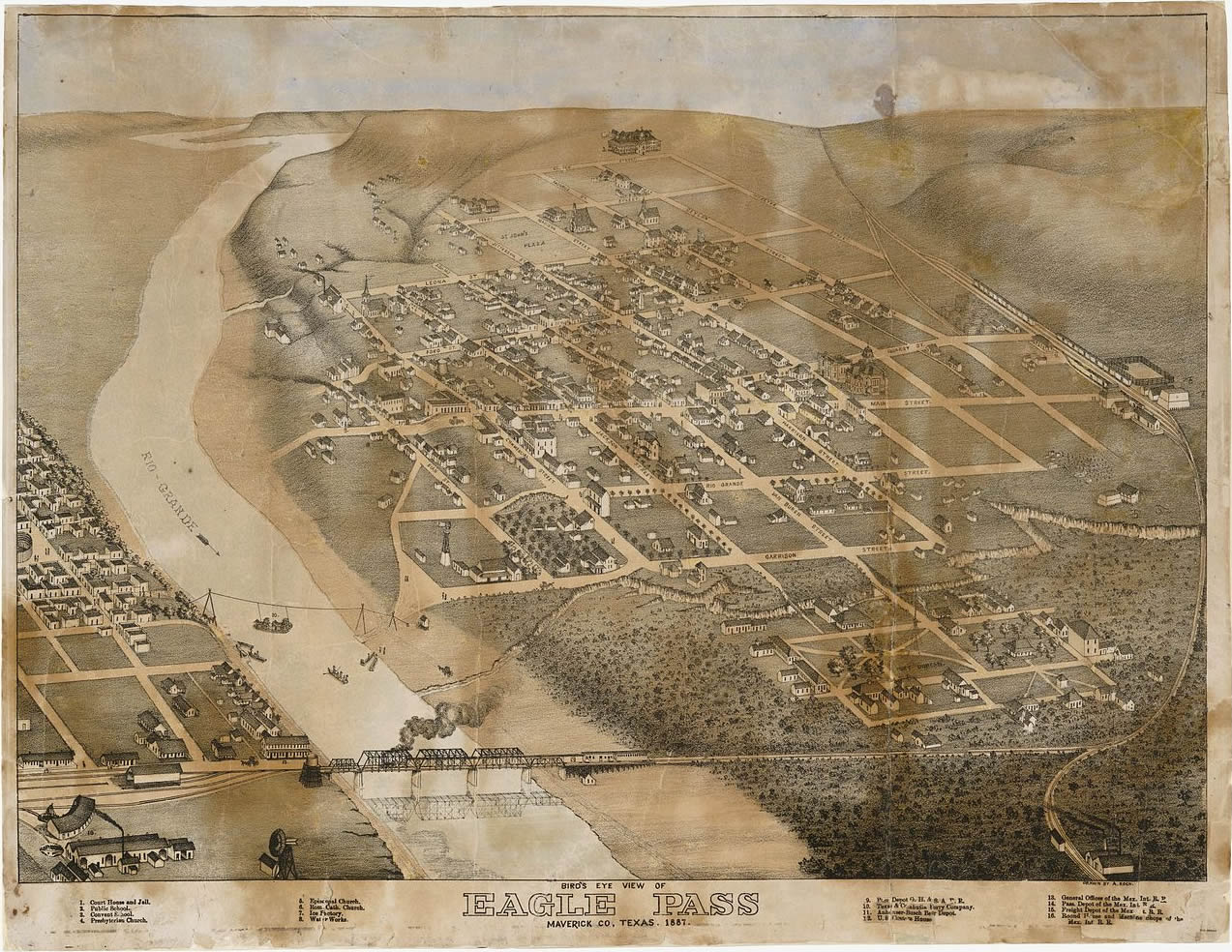
Eagle Pass 1887
Old Map
Click on image to enlarge
Amon Carter Museum, Wikimedia Commons |
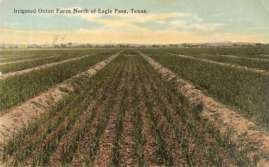
Irrigated Onion
Farm North of Eagle Pass, 1914
Click on image to enlarge
Postcard courtesy Dan
Whatley Collection |
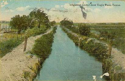
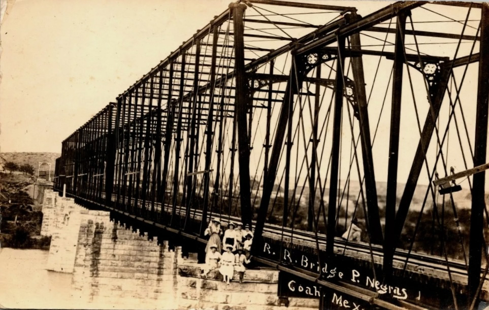
Irrigation Canal
near Eagle Pass Texas, 1916
Postcard courtesy rootsweb.com/%7Etxpstcrd/ |
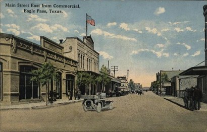
Main Street in
1916
Postcard courtesy www.rootsweb.com/ %7Etxpstcrd/ |
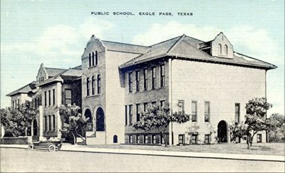
Eagle Pass Public
School in the 1920s
Postcard courtesy rootsweb.com/%7Etxpstcrd/ |
|
|
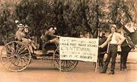
The
Eagle Pass Centennial
Photo Courtesy William Peterson |
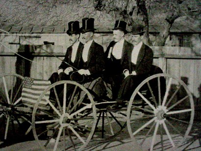
Early Eagle Pass
Businessmen
According to local historian Al Kinnsel, these men were photographed
each New Year's Day for years.
Photo Courtesy Maverick County Historical Museum |
Eagle Pass
Nearby Destinations
Maverick
County
Fort Duncan
- Restored buildings form the centerpiece of Eagle Pass' city park.
Buildings include the Fort Duncan Museum.
Piedras
Negras - The Mexican town across the border which claims to
be the birthplace of the nacho.
Guerrero,
Coahuila, Mexico - 30 miles East of Piedras Negras on Mexico
Highway 2
Uvalde
40 miles NE
Brackettville
46 miles N on Hwy 131
Del
Rio 56 miles N on Hwy 277
|
Eagle Pass
Chamber of Commerce:
PO Box 1188 Eagle Pass, TX 78853
Office: 400 Garrison Street Eagle Pass, TX
Phone: 1-888-355-3224 (830) 773-3224
Website: http://www.eaglepasstexas.com/
Book Hotel Here › Eagle
Pass Hotels
|
Eagle Pass,
Texas Forum
Subject:
Aztec Theatre
My memories of the "Aztec" are growing up down the resaca in the
"Jardin" neighborhood. We never really had any money back then,
so for the weekends, we'd camp-out in the park just across the water
and catch fish for dinner. I remember my Grandmother, God rest her
soul, took me to "bailes" a couple of times on the rooftop�.Oh what
a priviledge it would have been to have seen it in its heyday!!
I think my mother has a charcoal drawing I did back when I was around
15 years old. If I find it, I'll try and scan it and send it to
you guys! Thanks for the memories! - George L. Rodriguez, Jr.
Chesapeake, Virginia, July 31, 2006
Subject:
Prada Marfa
As me and my mom were on our way to Eagle Pass we passed the shoestore
[Prada Marfa] and we were not sure if it was what we had seen. We
wanted to make a U-turn and see if it was really there. Well, on
our way back it was there. We stopped and took pictures of it. To
us it was a store in the middle of nowhere, but [we] enjoyed it
as well. I told my brother about it and he doesn't belive it's really
there. - Marisa Flores, May 11, 2006
When you were
down in Eagle Pass did you cross the border and go to Guerrero,
about 25 miles down river from Piedras Negras, to visit the mission
San Juan Baptista?
This mission was the original mission and the headquarters from
which the fathers operated in their forming and governing the missions
in Texas including the Alamo. It is a ruin now but the Mexican government
has made some attempts to save it. - Sincerely, Bick Eubanks,
June 24, 2002
"Nearby
is the site of the Battle of Dove Creek, although it is on private
land. This fight took place in January of 1865 and involved a Confederate
Frontier Battalion and a large number of Kickapoo Indians
who were en route to Mexico (where they remain today)."
I found the above in your description of Sherwood. While it is true
that the Kickapoo do live near Nacimientos, Coahuila, Mexico, they
also live near Eagle Pass, Texas and in Kansas and travel between
all locations freely.
I really enjoy Texas Escapes and thank you for your dedicated work
on it. - Respectfully Yours, Bick Eubanks, June 22, 2002
Our special thanks to local historian Al Kinnsal and the Fort Duncan
Museum for providing us with many of the photos in our Eagle Pass
town site.
|
| Texas
Escapes, in its purpose to preserve historic, endangered and vanishing
Texas, asks that anyone wishing to share their local history, stories,
landmarks and recent or vintage photos, please contact
us. |
|
|