|
|
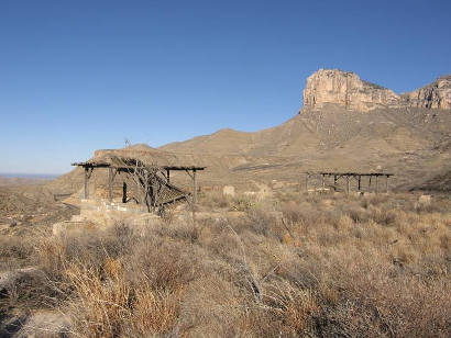
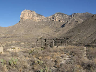
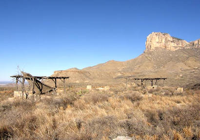
View of the
abandoned road side park and Signal Peak
Photo
Courtesy Barclay
Gibson, March 2010
|
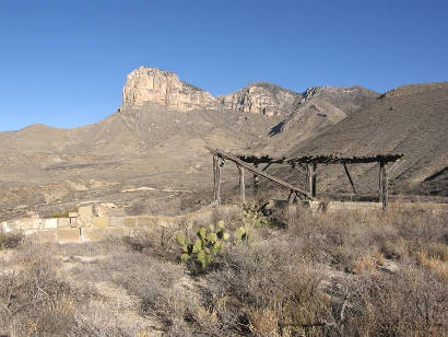
Culberson County
Road Side Park
Photographer's
Note:
"The construction date of this road side park is unknown. The
'new' El Paso road was finished in about 1962 bypassing this quaint
road side park.
This is the park as it is today. I looked for one of the small identifying
plaques that are often encased somewhere in the rockwork but could
not find any voids where one might have been. There is a pedestal,
visible in photo above, between the two shelters that has a place
on top where there once was a round marker about the size of the
bronze star on the 1936 County Markers. It may have been removed
when the park was vacated or stolen later.
It was a step climb up to the park but it was fun." - Barclay
Gibson
|
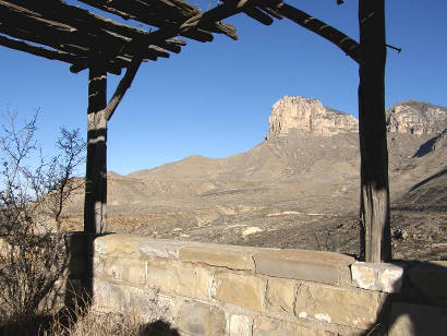
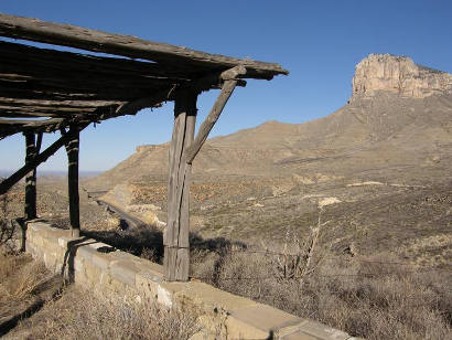
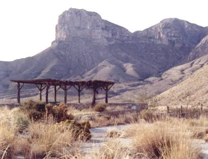
View
of Signal Peak the road side park
Photo Courtesy Barclay
Gibson, March 2010 |
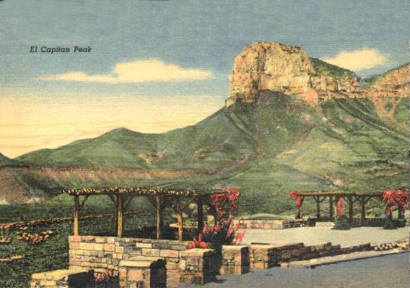
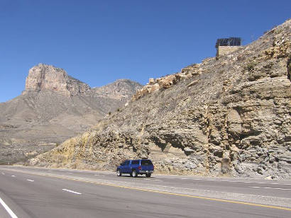
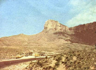
Postcard Caption:
El Capitan Peak
This view is seen from U. S. Highways 62 and 180 between Carlsbad,
New Mexico and El
Paso, Texas. It is a part of the Guadalupe
Mountains in which the Carlsbad Caverns National Park, New Mexico
is located about 40 miles east. The old Butterfield trail in California
passed along this route. Locally it is called "Signal
Peak". The Apache Indians sent up smoke signals from this
peak which is the highest point in Texas,
the elevation being 8,757 ft. |
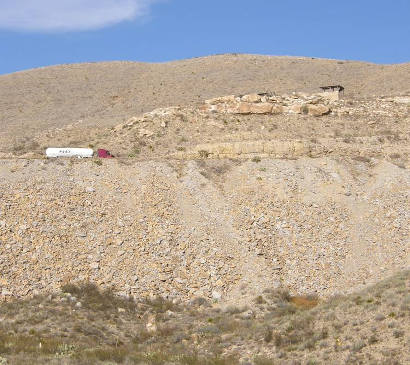
"In
the bottom left hand corner of the picture is a small light colored
object that looks like a fence post. It is the Polancio
Grave Marker, edge on."
Photo Courtesy Barclay
Gibson, November 2009 |
|
|