|
 |
 |
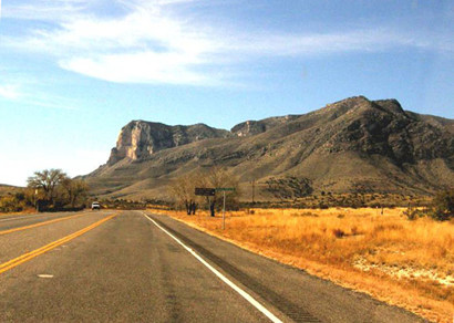
The Dominance
of Guadalupe Peak
The Peak can be
seen from east of Carlsbad, toward Hobbs. It can be seen to about
60 miles west of Salt
Flat. That spans well over 100 miles and no telling how far south
toward Van Horn.
It dominates Salt
Flat and Salt
Flat Lake.
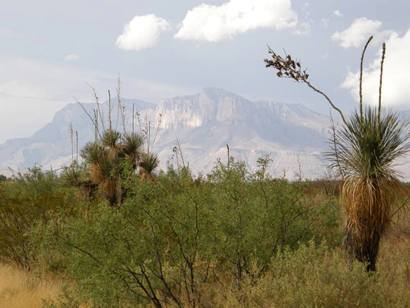
The domination of Guadalupe Peak to the surrounding area is not totally
unique in Texas. The Chisos Mountains in the Big Bend National Park
are visible throughout most of the park. The bluff of Guadalupe
Peak, also known as Signal
Peak and El
Capitan, is at the southern end of the Guadalupe Mountain Range
of the Rocky Mountains making it prominent from the east, west
and south and offers limitless photographic opportunities.
Just read this morning in TIME that one can see the world's tallest
building, Burj Khalifa in Dubai, from 60 miles away on a clear day.
Guadalupe Peak can be seen from at least that far away even on a not
so clear day.
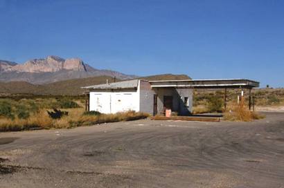
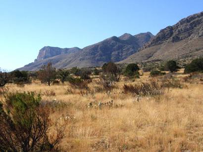
Nearby Points of Interest
Including the Peak itself, points of interest in the nearby region
are the towns of Salt
Flat and Dell
City as well as the Salt
Flat Lake. My guess is that the peak is visible, east and west
for about 120 miles on US 180. |
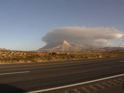
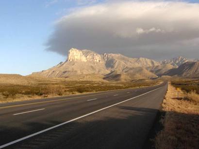
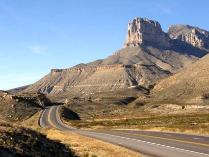
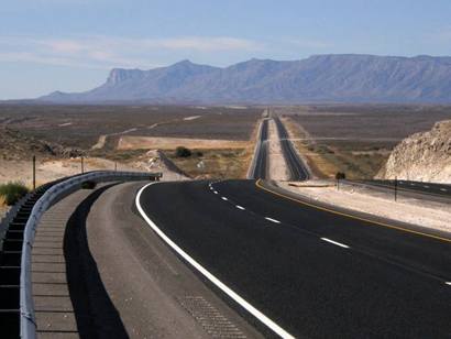
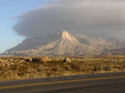
Guadalupe Peak
From US 180
|
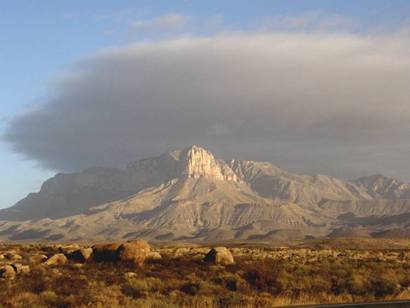
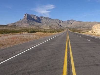
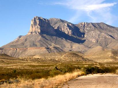
Guadalupe Peak
From The South On SH 54
|
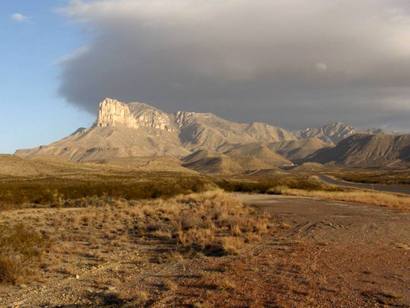
Guadalupe Peak
-
Old Highway US180
|
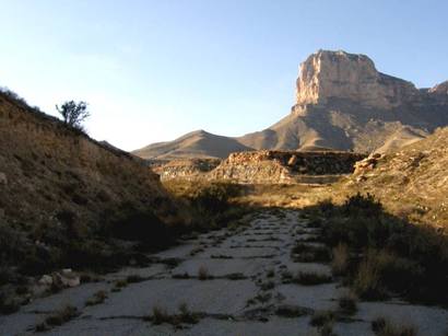
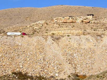
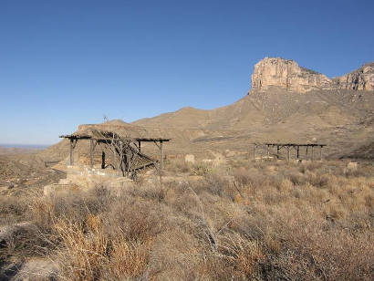
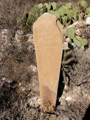
1855
Back in the 1855 a stage was attacked by Indians and a man, Jose Maria
Palacios, was killed. He was buried right where he fell, at the base
of the Peak and a
crude rock slab had the information scratched on it. These pictures
of the old road was when I was trying to find the marker.
A guide at the Guadalupe Mountain National Park headquarters said
it is still there but the historian who knew where it was had not
come in yet. |
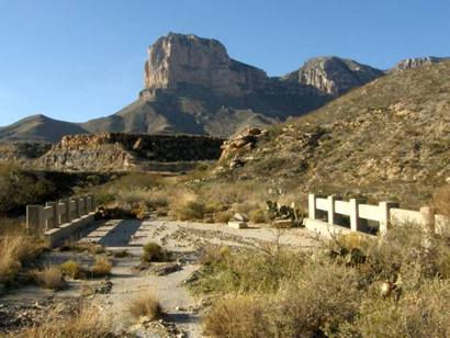
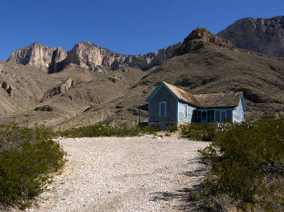
The
rest stop on the old road
Photo Courtesy Barclay
Gibson, November 2009 |
Again, on the
old road was a quaint old Rest Stop. You have to get permission
to hike up there.
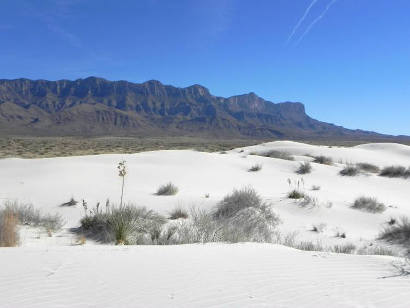
Also sometime in the 1870s a wagon train had just crossed over the
unimaginably difficult road through Guadalupe Pass when it, too, was
attacked by Indians. The train was passing through a huge, white sand
dune area. After the massacre, all trace was lost of the expedition
until about twenty years ago a man flying over saw the remnants of
the circle of wagons protruding from the dunes. Only last year (2008)
it was located on the ground and has not been excavated yet. You can
hike to the area under supervision of the Park Service only. |
Guadalupe Mountain
National Park
|
Guadalupe
Mountains National Park
"Park information, including park conditions, closures or restrictions,
weather and program information, may be found on the park�s website
at www.nps.gov or by contacting the Headquarters (Pine
Springs) Visitor Center at (915) 828-3251 x2124. The Headquarters
(Pine Springs)
Visitor Center is open daily (except for Christmas) from 8:00 AM until
4:30 PM. There is no public transportation to the park. The nearest
gasoline, lodging and services are 35 miles away. Motorists traveling
past the park along U.S. Hwy 62/180 may tune in to the park�s Traveler
Information Station at 1610 AM for up-to-date park information."
|
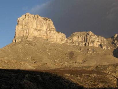
Guadalupe
Mountain near the Texas Mexico State line
Photo Courtesy Barclay
Gibson, November 2009 |
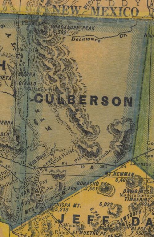
From 1940 Texas
state map #4335 showing Culberson
County
& Guadalupe Peak
Courtesy Texas General Land Office |
|
|