|
 |
History in
a Pecan Shell
Named after the
bay on which it was settled, the under-populated community was on
the mail route between Texana and Matagorda
in the 1880s. From a �mail stop� called Freeport, Carancahua got a
legitimate post office of its own in 1897, which closed in the mid
1920s. In 1908 an attempt was made to interest investors in small
plots, but the swampy land (not to mention the mosquitos) discouraged
would-be buyers.
There were only 50 people living here in 1915, declining by half for
the mid 20s. By 1931 there was hardly anyone left to count. A community
building reportedly still stands although the population has since
dispersed, leaving only the community sign.
Photographer's Note:
Cape Carancahua
"On the eastern shores of Carancahua Bay and south of Hwy 35
is this residential village. It is 2 miles east of the junction of
172 and 35. Remember Hwy 35 bridge and road at this point is traveling
east and west, whereas it is considered to generally travel north
and south." - Ken
Rudine. |
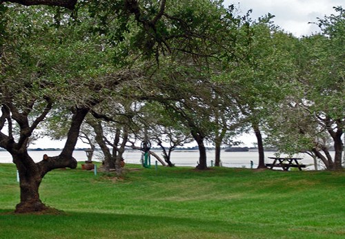 |
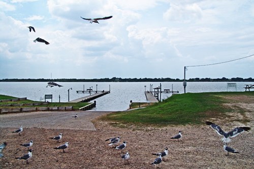
Park on Cape
Carancahua's east shore
Photo courtesy Ken
Rudine, August 2008 |
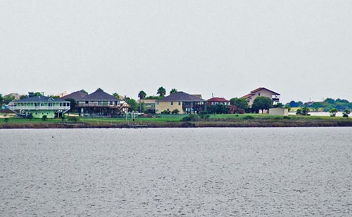
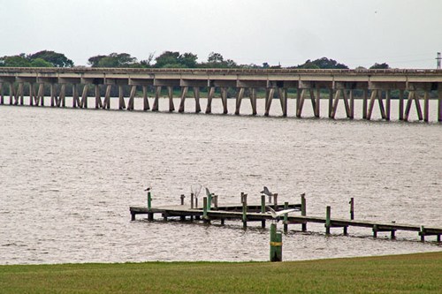
Boat ramp on
Cape Carancahua's west shore
Photo courtesy Ken
Rudine, August 2008 |
Cape tip is to
the right of this picture, southwest
Photo courtesy Ken
Rudine, August 2008 |
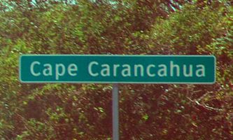
Cape Carancahua
city limits
Photo courtesy Ken
Rudine, August 2008 |
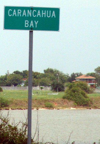
Carancahua Bay
sign looking at the west shore of the cape
Photo courtesy Ken
Rudine, August 2008 |
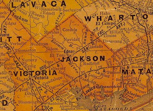
Jackson
County 1920s Map showing Carancahua Bay & Carancahua
From Texas state map #10749
Courtesy
Texas General Land Office |
| Texas
Escapes, in its purpose to preserve historic, endangered and vanishing
Texas, asks that anyone wishing to share their local history, stories,
landmarks and recent or vintage photos, please contact
us. |
|
|