|
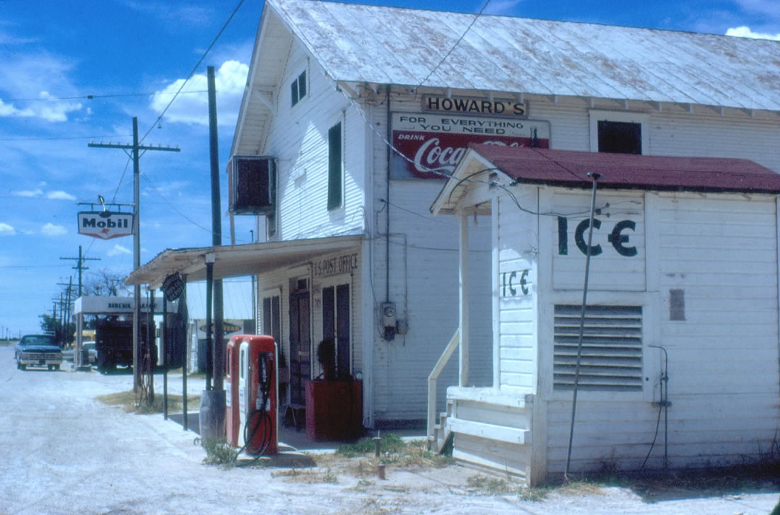
Howard's Store/Post
Office/Gas Station in 1968
Click on image to enlarge
Photo
courtesy Jonathan Jeffries, August 1968
More Texas
Gas Stations | Texas
Stores |
History in
a Pecan Shell
Wall had been
known by three names before 1906. It was first called Lipan School,
followed by Little School, before the school association was
dropped and it was called Murray's Store.
The town was first settled in 1886 when J. C. and Lou Bell Bunnell
arrived. In keeping with tradition, storekeeper J.M. Wall applied
for a post office in his establishment and modestly submitted his
name. The post office was granted in 1906.
Although the name had once been "Murray's Store." little is known
of that period.
Wall peaked in 1920 when 250 residents were counted. The 1930 census
recorded only 120 residents. From 1980 to 2010 the population was
given as 200. |
Wall, Texas
Photo Gallery
1968
Photos courtesy
Jonathan Jeffries |
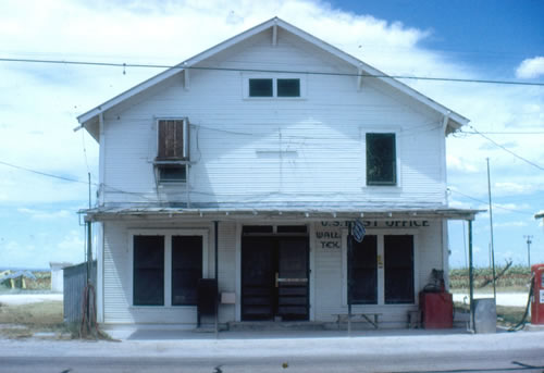
Wall, Texas
Post Office
Photo
courtesy Jonathan Jeffries, August 1968
More Texas
Post Offices |
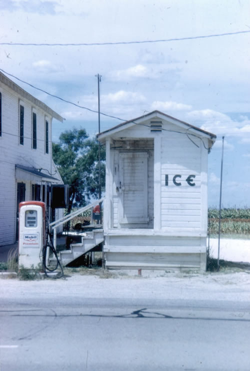
Ice House
Photo
courtesy Jonathan Jeffries, August 1968 |
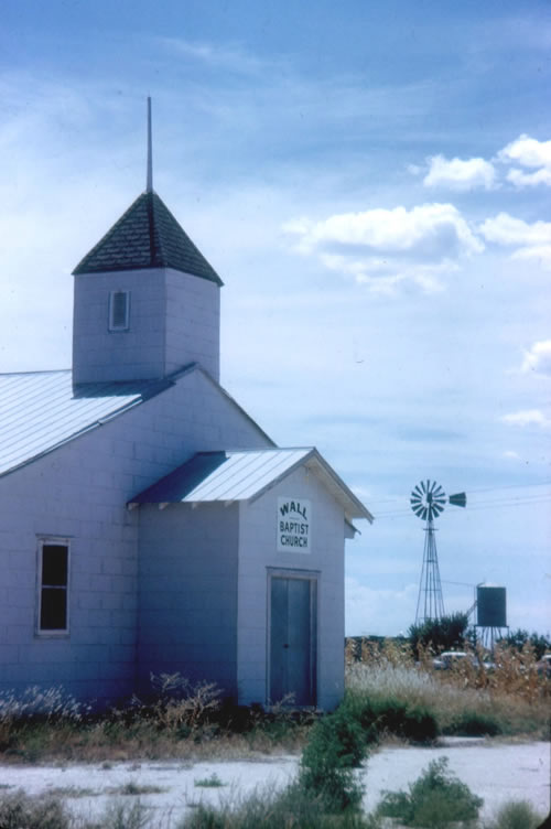
Wall Baptist
Church
Photo
courtesy Jonathan Jeffries, August 1968 |
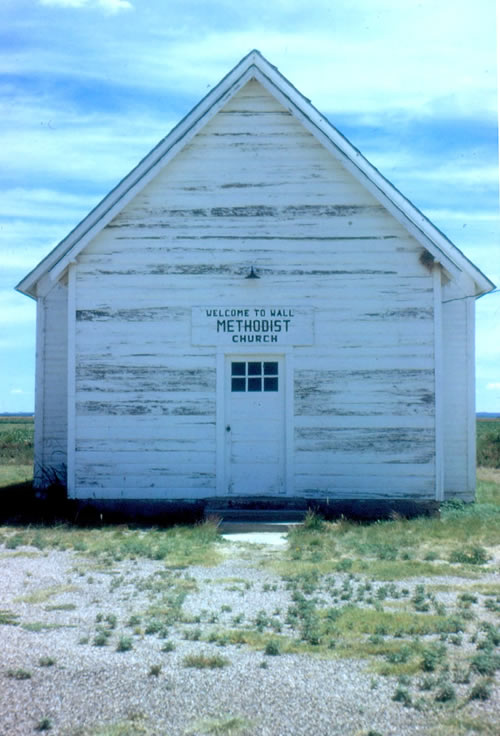
Wall Methodist
Church
Photo
courtesy Jonathan Jeffries, August 1968 |
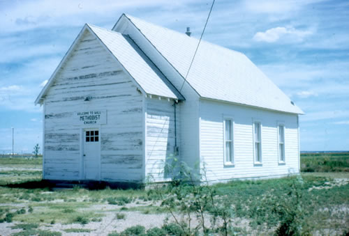
Wall Methodist
Church
Photo
courtesy Jonathan Jeffries, August 1968
More Texas Churches |
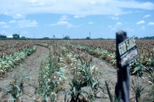
For Sale
Photo
courtesy Jonathan Jeffries, August 1968 |
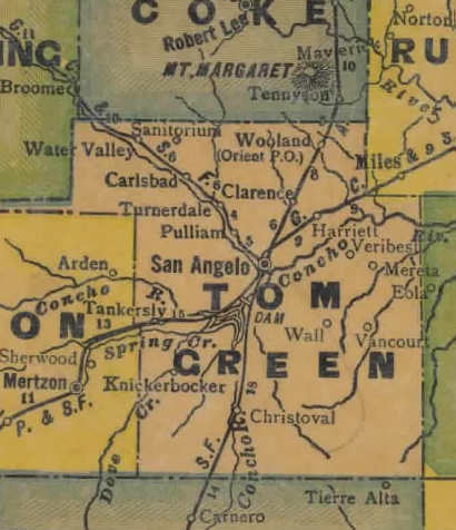
Tom
Green County 1940s map showing Wall
From Texas state map #4335
Courtesy
Texas General Land Office |
| Texas
Escapes, in its purpose to preserve historic, endangered and vanishing
Texas, asks that anyone wishing to share their local history, stories,
landmarks and recent or vintage photos, please contact
us. |
|
|