|
|
Texas
| Counties
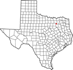
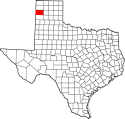
OLDHAM COUNTY,
TEXAS
35� 24' 0"
N, 102� 36' 0" W (35.4, -102.6)
Population: Est. 2,114 (2016) 2,052 (2010)
Total area: 1,501 square miles (3,890 km2)
1,501 square miles (3,890 km2) land
0.9 square miles (2.3 km2) water |
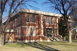
Oldham County
History
1936 Centennial
Marker:
OLDHAM COUNTY
Formed from Young and Bexar territories;
created August 21, 1876;
organized January 12, 1881.
Named in honor of Williamson Simpson Oldham 1813-1868; Arkansas
lawyer and jurist; member of the Confederate Senate from Texas.
County seat, Tascosa,
1881;
Vega, since 1915.
|
Oldham County
Town List
Cities, Towns &
Ghost Towns: History, attractions, landmarks, architecture, monuments,
museums, cemeteries, bridges, parks, vintage & contemporary images,
area destinations, hotels,
and forum.
County Seat - Vega
Book Hotel Here - Amarillo
Hotels | More
Hotels |
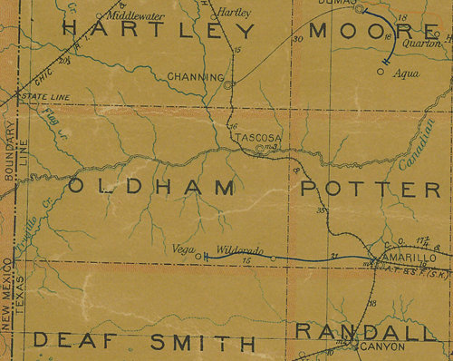
Oldham County
Vintage Maps
|
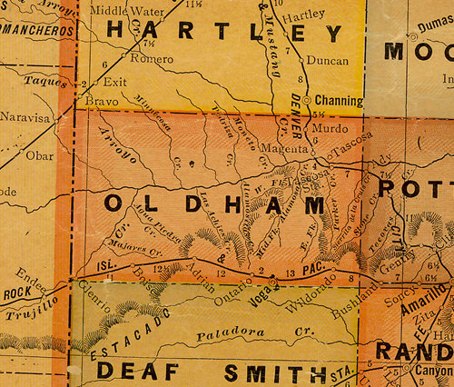
Oldham County
1907 postal map
From Texas state map #2090
Courtesy
Texas General Land Office |
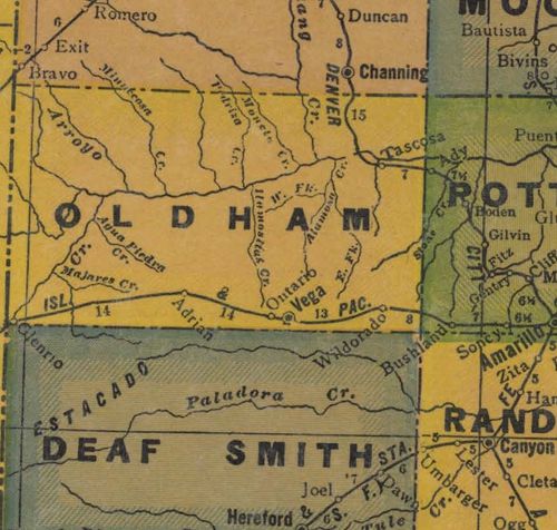
Oldham County
1920s map
From Texas state map #10749
Courtesy
Texas General Land Office |
Oldham County
1940s map
From Texas state map #4335
Courtesy
Texas General Land Office |
|
|