|
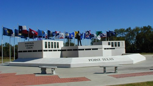
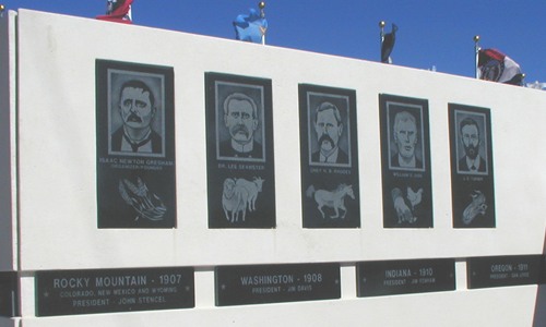
Point Texas National
Farmers Union Monument
Photo courtesy Mike
Price, October 2007 |
History
in a Pecan Shell
The town dates
from 1880 when it was designated as a MKT flag stop. The name submitted
for a post office was Rice�s Point, after William Rice, a local
settler. Since the name was already in use, it was rejected but
the word point was accepted.
The population reached 50 for the 1890 census. In 1902, the Farmers
Educational and Cooperative Union of America was formed. In
three years it had amassed a national membership of one million
members.
In 1913 the
town built a two-story brick school and three years later the population
reached 600. Point lost about half of its population during the
Great Depression.
Highway 69
was built in the early 1940s, bolstering the population back into
the 400s, but by ther end of WWII
it had declined back to 350. The population from 1950 through the
60s remained at 400 (more or less). 1957 saw the building of the
Iron Bridge Dam, impounding the Sabine River and forming Lake Tawakoni.
Development
began on the western shore of Lake Tawakoni and this eventually
became the separate community of East Tawakoni. Point�s population
took a hit and for the 1970 census, it was back to just over 400
residents. The 1990 census reported 645 Point residents, increasing
to nearly 800 by the year 2000.
|
Point,
Texas Landmarks / Attractions
|
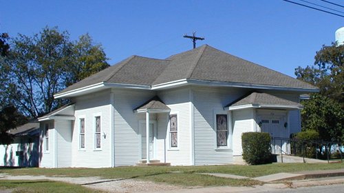
The
Cotton Pickin' Theatre
Photo courtesy Mike
Price, October 2007 |
The
Cotton Pickin� Theater
by Bob Bowman
At Point, a small town of some 700 souls in northern Rains county...,
a sturdy old gin has found a new life as an entertainment venue that
draws crowds from all over East Texas and performers like Mark Chestnut,
Pee Wee Walker, and Gary Busey....
more
[More Texas Theatres] |
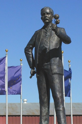
National Farmers
Union Statue
Photo courtesy Mike
Price, October 2007 |
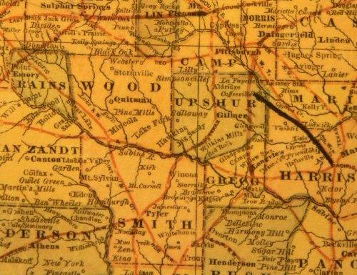
1882 map showing
Point in NW Rains County
From Texas state map #2134
Courtesy
Texas General Land Office |
| Texas
Escapes, in its purpose to preserve historic, endangered and vanishing
Texas, asks that anyone wishing to share their local history, stories,
landmarks and recent or vintage photos, please contact
us. |
|
|