|
|
 |
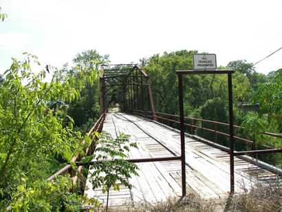
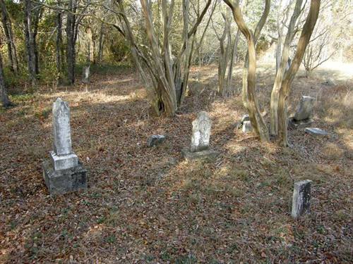
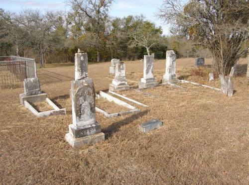
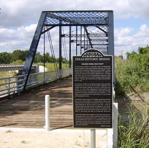
History in
a Pecan Shell
Benjamin F. Bryant
built a fort here in the 1840s as a defense against hostile Indians.
Being on the river and on the Austin
to Marlin stageline the town
became a prosperous settlement and it seemed to have bright prospects.
Several post offices (including one opened under the name Blackland,
Texas) opened and were discontinued between the 1840s and 1870s.
As the Gulf, Colorado and Santa Fe Railroad approached the town in
1881 - Bryant Station lost out to rival Buckholts.
Bryant Station waned as Buckholtz waxed.
A Texas Centennial
marker was erected at the site in 1936 but as early as the 1940s,
after most residents had left and school consolidated with Buckholts
ISD (1941) the town had become a virtual ghost. Today, the marker,
bridge and cemeteries are about all that's left. |
 |
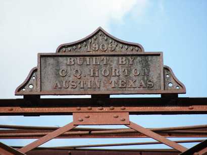
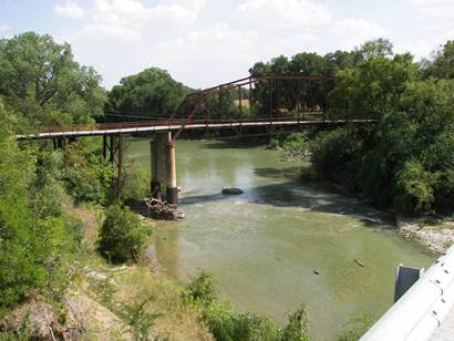
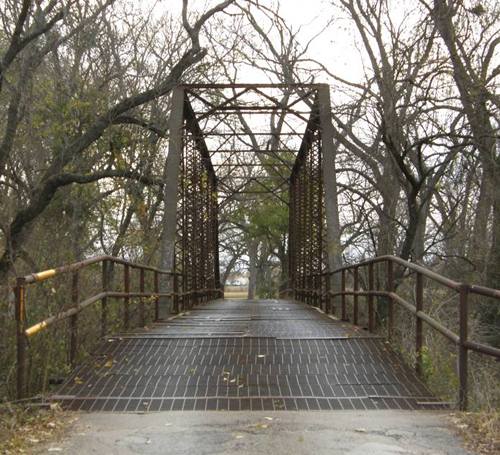
Directions
to Bryant Station Bridge:
Photographer's
Note:
"(This sounds complicated but it isn't really if you keep your
cool) On Texas State Hwy 36 leave Rogers
southeast and go 3.3 miles or from Buckholts
go northwest on Texas 36 4.1 miles. Then southwest on County Road
104 for 4.0 miles, the road makes a right angle turn to the southeast,
then turn southwest on County Road 106 0.8 miles to the Bryant Station
Bridge.
Before getting to the bridge there is a sign to the Bryant Station
Cemetery. The road is hard packed dirt and gravel. It would help
to have a good county map. Enjoy." - Barclay
Gibson, January 10, 2007 |
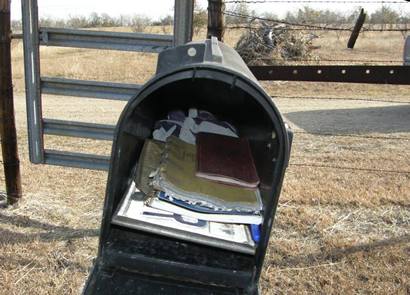
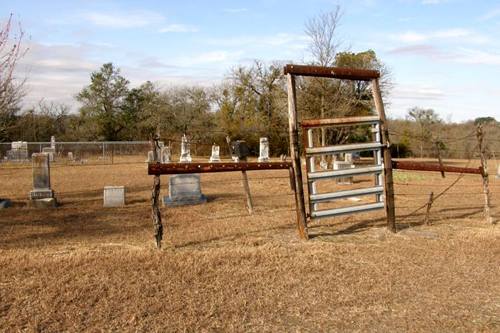
What is a mailbox
doing in a cemetery?
Photo courtesy Barclay
Gibson, December 2008 |
More
Milam County Bridges
|
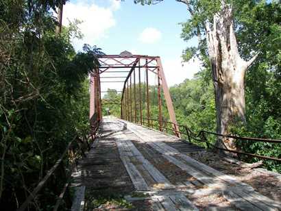
| Photos
courtesy Joe Williams |
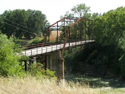
Sugarloaf
Bridge of Milam County
... I discovered another metal truss bridge, or at least what I suspected
was a metal truss bridge, that crossed the Little River in Milam County,
approximately 40 miles from the Bryant Station location... The exact
location is about � mile north of Gause
on Farm to Market Road 2095, then north on County Road 264 approximately
two miles. The road then crosses the Little River... more
|
| Texas
Escapes, in its purpose to preserve historic, endangered and vanishing
Texas, asks that anyone wishing to share their local history and vintage/historic
photos, please contact
us. |
|
|
 Texas
Gulf Coast
Texas
Gulf Coast East
Texas
East
Texas Central
Texas North
Central
Texas North Central
Texas South
Central
Texas South Texas
Panhandle
Texas
Panhandle South
Texas
South
Texas Texas
Hill Country
Texas
Hill Country West
Texas
West
Texas Texas
Ghost Towns
Texas
Ghost Towns Texas
Counties
Texas
Counties