|
|
 |
History
in a Seashell
Named after Englishman George Sargent, from Cornwall, England who
settled near here in 1834 and bought land near Caney Creek sometime
later.
Caney Creek had been navigable and Sargent, a rancher and cotton
grower was able to run the Union blockade to ship his beef and cotton.
The Sargent family survived the war and in 1875 George�s son John
drove a herd of 3,000 head all the way to Abilene.
During John�s absence a hurricane struck (one of the ones that destroyed
Indianola)
and although he was in time to save his children from the flood, both
his father and wife had drowned.
A post office opened in Sargent in 1912 and in the mid 1920s the population
was still a mere 23 people. Development of the area fell on the shoulders
of Abel B. Pierce of the Pierce Ranch who built a cotton gin and housing
units for his workers in 1930. Pierce had constructed the area�s first
roads a few years earlier.
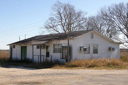
By the eve of WWII,
Sargent had 80 residents served by four business. The post office
closed sometime in the mid 1940s but was back in operation by the
mid 1980s. Sargent�s population remained below 100 for the 1990 Census
but has increased to 300 for the 2000 count.
Confederate Defenses at the
Mouth of Caney Creek |
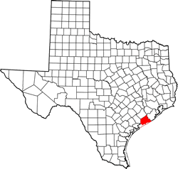
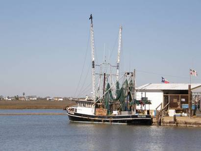
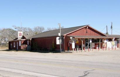
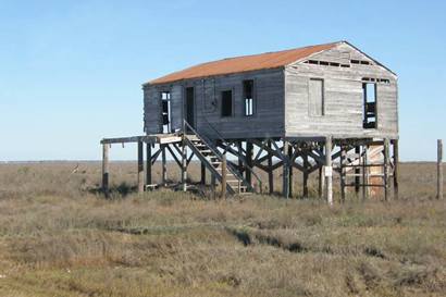
Sargent, Texas
Photographer's
Note
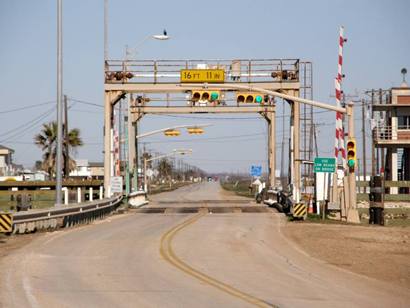
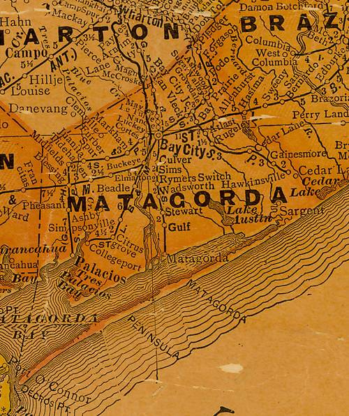
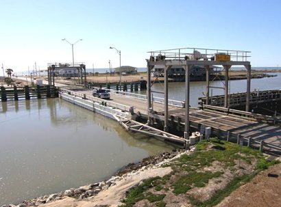
The map show Sargent as about six miles from the Gulf Coast but it
is really little settled areas all the way to the coast, ending with
the side-swing bridge. Across the Intercoastal Waterway has been almost
completely eroded away in the last 50-60 years. The bridge operator
told me there used to be a lot of houses on the other side. I talked
with the operator for maybe thirty minutes but didn't get to see the
bridge swing. - Barclay
Gibson, August , 2009 |
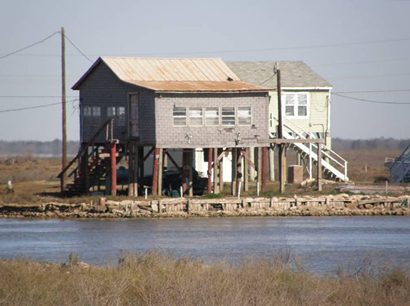
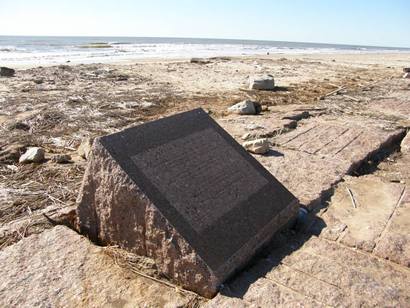
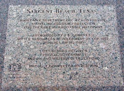
Sargent Beach
Texas Marker
Photo courtesy Barclay
Gibson, February 2009 |
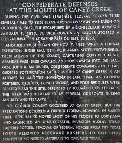
"Confederate
Defenses at the Mouth of Caney Creek" historical marker
FM 457 about 5 miles E of Sargent, near intra coastal waterway bridge
Photo courtesy Barclay
Gibson, February 2009 |
Historical
Marker Text
Confederate
Defenses at the Mouth of Caney Creek
During the Civil
War (1861-65), Federal forces tried several times to seize Texas ports.
Galveston was taken
on October 5, 1862, but recaptured by a Confederate army on January
1, 1863. Lt.
Dick Dowling's troops stopped a Federal invasion at Sabine
Pass on Sept. 8, 1863.
Another thrust began on November 7, 1863, when a Federal expedition
under Maj. Gen. N. P. Banks seized Brownsville,
then moved up the coast, capturing Corpus
Christi, Aransas Pass, Pass
Cavallo, and Port Lavaca (Dec.
26). Maj. Gen. John B. Magruder, Confederate commander of Texas, ordered
fortification of the mouth of Caney Creek in an attempt to halt the
invasion. In Jan. 1864, an earthen fortress, rifle pits, trench works,
and four redoubts were erected near this site. Defended by 4000-6000
Confederates, the area was bombarded by Federal gunboats during January
and February.
No ground combat occurred at Caney Creek, but the preparations deterred
a further Federal advance. In March 1864, Gen. Banks moved most of
his troops to Louisiana and launched an unsuccessful invasion along
Texas' eastern border. Removal of Federal forces from key Texas ports
allowed blockade runners to continue transporting needed materials
to Civil War Texas. |
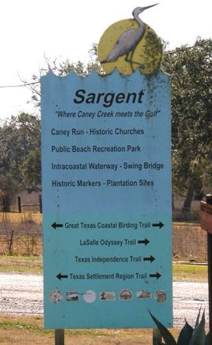
Sargent
"Where Caney Creek meets the Gulf"
Historic Places and Trails:
|
| Texas
Escapes, in its purpose to preserve historic, endangered and vanishing
Texas, asks that anyone wishing to share their local history, stories,
landmarks and vintage/historic photos, please contact
us. |
|
|

 Texas
Gulf Coast
Texas
Gulf Coast East
Texas
East
Texas Central
Texas North
Central
Texas North Central
Texas South
Central
Texas South Texas
Panhandle
Texas
Panhandle South
Texas
South
Texas Texas
Hill Country
Texas
Hill Country West
Texas
West
Texas Texas
Ghost Towns
Texas
Ghost Towns Texas
Counties
Texas
Counties