|
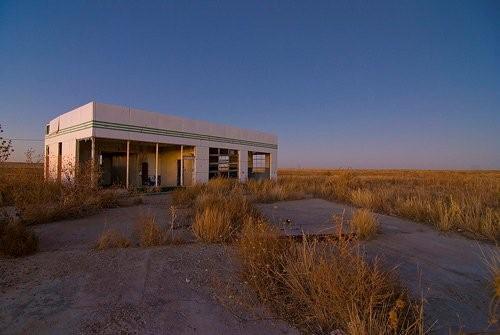
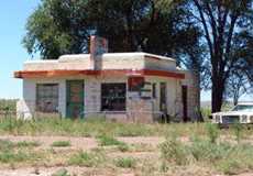
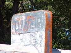
Glenrio Gas
Station
Photo
courtesy
Noel Kerns, January 2008 |
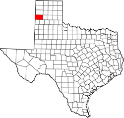
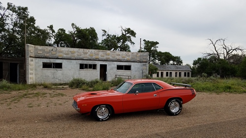
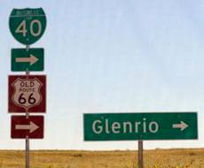
Glenrio
Deaf Smith County,
Texas
Quay County, New Mexico
Glenrio Historic District - National Register of Historic Places (2007)
|
History in
a Pecan Shell
Glenrio started
as a farming community around 1905 and prospered into the 1920s with
multiple stores, cafes, and lodging establishments. There was even
enough support for a newspaper until it closed in 1934.
The town had a Texas welcome station at one point and some scenes
for the movie Grapes of Wrath were filmed at Glenrio.
Being on a state line can have its advantages - or not. The town once
had a post office on the New Mexico side of the line, with mail arriving
at the depot on the Texas side. The town was further divided by liquor
laws, since New Mexico was "wet" while Deaf
Smith County was "dry."
In 1945 the town had a population of only 30 people and businesses
were tourist-based.
The town didn't survive being bypassed by Interstate 40, when it replaced
Route 66 and the main businesses either
moved well into New Mexico or into Oldham County.
The final blow came with the closing of the Rock Island depot in 1955.
Today the former community is visited by tourists following historic
Route 66. |
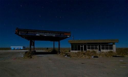 |
Glenrio Gas Station
interior at Night
Photo
courtesy
Noel Kerns, January 2008 |
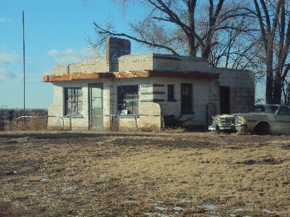
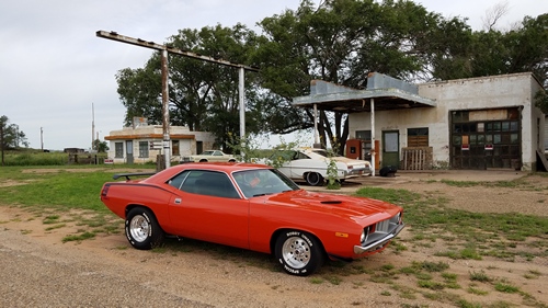
Glenrio Diner
today
Photo courtesy
Seth McCandless, 2011 |
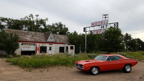
Route
66 State Line Cafe, Gas Station, Texas Longhorn Motel
Photo courtesy Jimmy Dobson, August 2017 |
Photographer's
Note On Glenrio
"Route
66 [here in Glenrio] was divided by a concrete curb about three
feet wide with 2 each east and west lanes. The road is fairly smooth
with a good base and small rock cover, but I don't think anyone would
call it paved. However, it does change to just a dusty gravel road
at the west end. There are maybe two houses where people live on 66
and one large house and building in good repair a couple of hundred
yards south of 66. There is a blue US Postal
box and a government delivery box containing 16 mail boxes. Scratched
on one cinderblock building is "Glenrio, NM". As we left and approached
the bridge crossing I-40, we could see the welcome to Texas sign,
indicating that maybe all of current Glenrio is now actually in New
Mexico." - Ken
Rudine July 31, 2005 |
|
|
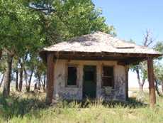
A
former diner
Photo by Ken Rudine, July 2005 |
|
|
The
diner's faded sign
Photo by Ken Rudine, July 2005 |
|
|
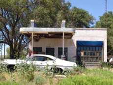
Former gas station
Photo by Ken Rudine, July 2005 |
|
|
An
old filling station
Photo by Ken Rudine, July 2005 |
|
|
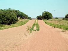
Old
Route 66 heading towards New Mexico
Photo by Ken Rudine, July 2005 |
|
|
Local
signage
Photo by Ken Rudine, July 2005 |
|
|
Where
the blacktop meets the gravel.
Photo by Ken Rudine, July 2005 |
Glenrio Texas
Forum
Subject: Glenrio
Texas
I recently made a road trip to Glenrio to photograph some of the remains
of this old border town. Some of these remains such as the old diner
now have "Private Property" signs on them, so pictures must be taken
from a short distance. The only remains of the Rock Island Railroad
is the piles of cross ties laying around on the south side of the
town. the original post office still stands, for now. There are two
old hotels still standing. One is a great photo opportunity, the other
is what appears to be a local's home now. The population would still
be quite accurate at 5. I showed to be 37 miles west of Vega
Texas along I-40. Take exit 0, Glenrio sits on the south side
of the Interstate. Great photo opportunity for anyone passing through
or someone with a little time on their hands. - Randy Johnson, April
21, 2005
Glenrio
Texas Longhorn Cafe - Then and Now › |
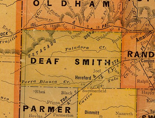 |
Deaf Smith County
1920s map showing Glenrio
on Texas/New Mexico State line (near Oldham
County)
(From Texas state map #10749)
Courtesy Texas General Land Office |
| Texas
Escapes, in its purpose to preserve historic, endangered and vanishing
Texas, asks that anyone wishing to share their local history, stories,
landmarks and recent or vintage photos, please contact
us. |
|
|