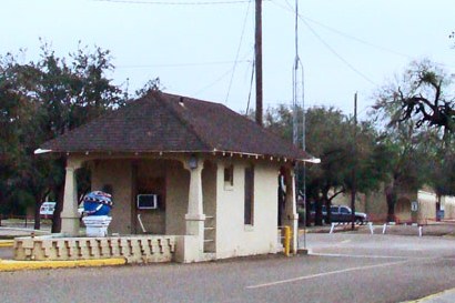
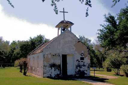
|
Historically
the first settlers from Europe came to The Rio Grande Valley in 1749.
Hundreds of years before that Spaniards had brought into Mexico,
large numbers of herd animals. As these herds wandered north across
the Rio Grande that eventually resulted in the introduction of new
plants to Texas, most notably Mesquite.
In 1875, an antique map described the Valley as a grassy plain illustrating
how little impact had been made at that time.
The untended cattle herds thrived and adapted becoming the Texas
Longhorn breed. Meanwhile the jaguar and bears disappeared. The
ocelot (which we have seen at Laguna Atascosa) and jaguarondi (seen
at the Big
Tree) still wander here. By the 20th century the irrigation system
changed the valley from cattle to largely agriculture.
By 1850 the cowboys and vaqueros had perfected the skills and tools
for working cattle from horseback. After the Civil War enterprising
stockmen realized they could cause great cattle drives north to Kansas.
Once there, the cattle could be sold and shipped to the eastern market.
Round-ups and cattle drives faded away after only 20 or so years because
railroad transportation took over. But memories lived on in books,
movies and songs that kept at least this Texan singing �When its
round-up time in Texas and the bloom is on the sage� for a lifetime.
The
Old Military Road (OMR) closely follows the Rio Grande River
the border between Texas and Mexico
for 100 miles. The twists and turns of this road has its own way of
exposing the people in their poverty or plenty, as it goes through
28 villages and towns along the way. It is only logical to think of
this road, beginning in 1848 as the original route between Fort
Ringgold in Rio
Grande City and Fort
Brown in Brownsville.
|
 |
| We
have traveled portions of the OMR many times in the more populated
central and eastern section. The western section is more difficult
with a feeling of desolation and the road is unsuitable at times.
The Border Patrol is prevalent along the road�s entirety. One might
suspect the road continues to Laredo
(Fort McIntosh). No maps show this road to exist west of Rio
Grande City. Starting at the village of La Puerta we intended
to take the OMR as it crossed US83E but the road to La Casita
was unsuitable. Continuing on 83, we took the Garciasville
turn-off. On that road we crossed over the OMR and the paralleling
railroad track. |
Crossing the
Old Military Highway and the paralleling RR track on the way to Garciasville.
Photo courtesy Ken
Rudine, February 2009 |
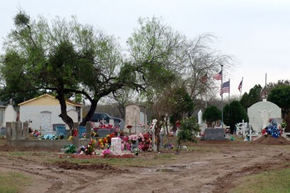
La Grulla Cemetery
Photo courtesy Ken
Rudine, February 2009 |
| Next
we crossed the dirt OMR again to visit La Grulla 3 miles south
from 83. A small carnival was set up on a plot adjacent to the cemetery
block. Quite a contrast! Returning to the highway because of unsuitable
roads, we also skipped Alto Bonita, Ratcliff and Cuevitas.
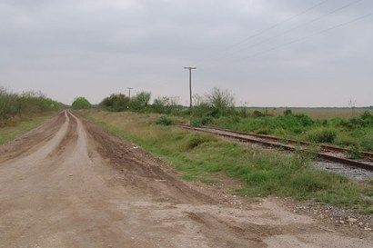
Next we drove to Los
Ebanos, crossing OMR which again is still a dirt road. |
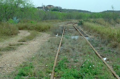
Crossing the
Old Military Hwy & RR on the way to Los
Ebanos
Photo courtesy Ken
Rudine, February 2009 |
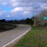
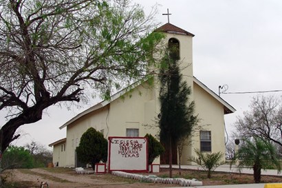
Havana
- At the beginning of the paved portion of the Old Military Hwy
Photo courtesy Ken
Rudine, February 2009 |
At
Patricio Perez Road we turned off the highway to go to Havana.
At the intersection with the OMR this time, it was paved. Instead
of taking the OMR we bypassed the next villages of Chihuahua
and Abram
because we have been there before.
We left US83 at Mission
going south on FM1016. There we joined an improved, paved (OMR,).
Now past Bentsen
Rio Grande State Park, we arrive at Madero and the nearby
Mission at La Lomita.
On the way to Granjeno
we suggest you drive the Anzalduas Dam Road on the river. This
is a manned Texas park, good for bird
watching on the river. |
 |
Leaving
Granjeno
observe and follow the road signs carefully to Hidalgo.
This is an area of many product distribution warehouses and trucks.
It is also where US281 (from McAllen
and north) joins the OMR and continuing all the way to Brownsville.
Progreso
lies at the intersection with FM1015. This is south of Weslaco
where the 1015 onion was developed and named. The name (or number)
is not after the road, but for the day on which it was first planted
- October the 15th.
East of here, Relampago
markers come up quickly followed by the towns of Santa
Maria and Bluetown.
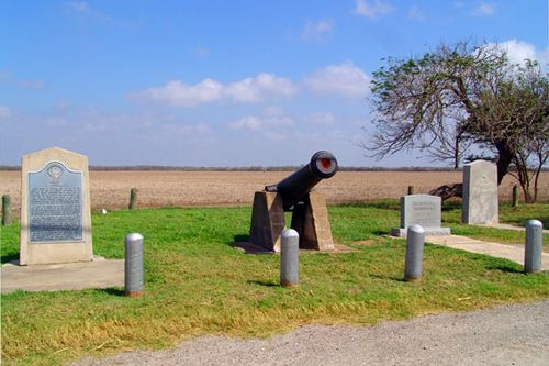
After more miles of crops we come to the �Thornton
Skirmish� Roadside Park, then Las Rusias, Los Indios,
Carricitos, La
Paloma, El Calaboz, Ranchito and Villa Cavazos.
|
Los Indios
Photo courtesy Ken
Rudine, February 2008 |
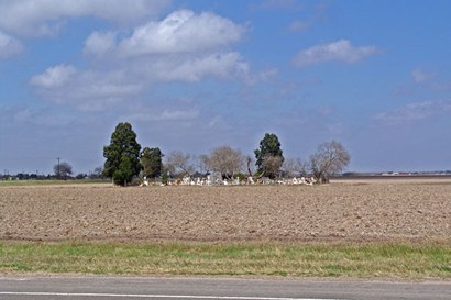
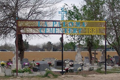
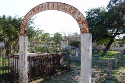
La
Paloma Cemetery
Photo courtesy Ken
Rudine, February 2008 |
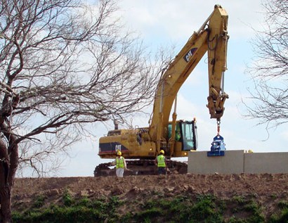
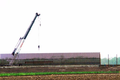
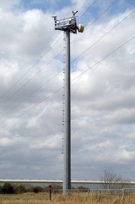
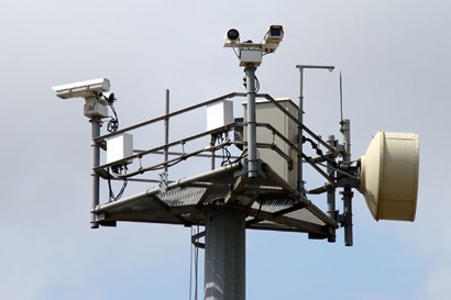
| On
the land between the OMR and the Rio Grande, paralleling the Carricitos/La
Paloma villages, the Border Fence is being erected and video surveillance
is operating. |
Border
fence
Photo courtesy Ken
Rudine, February 2008 |
Surveillance
Camera
Photo courtesy Ken
Rudine, February 2008 |
Surveillance
Camera
Photo courtesy Ken
Rudine, February 2008 |
|
Now
the highway turns away from easterly to a southerly track, coming
to San Pedro (outskirts of Brownsville).
It was Charro Days there so we opted to call our OMR trip complete
at Villa Nueva.
© Ken
Rudine
|
|
|